

The Shahi Group provides expert services across the project lifecycle, from survey, training, design planning, and engineering to consulting and construction management. It is the leading land survey, survey training, and infrastructure company in Bhopal India. We collaborate with both public and private sector clients to address their most difficult problems and leave a lasting legacy on projects including government, Transportation, Construction, Water, Transmission, Railway, Energy, Irrigation, Pipeline, Dam, and Survey. Our teams are motivated by a shared goal of producing an improved survey. The Shahi Group takes great satisfaction in producing the best possible products on schedule and within budget. We have the resources for every project, no matter how big or small, thanks to our broad experience and array of services, and we're prepared to finish your job precisely and on scheduled, timetable and financial.
Shahi Group appears to be a multifaceted business providing a range of services pertaining to building, land surveying, survey training, and survey equipment sales. This multifaceted strategy implies that Shahi Group possesses knowledge in several domains associated with surveying and land development. Land surveying is the process of measuring and charting the contours and features of the surrounding area, usually for use in engineering, building, or land development.
Construction: Shahi Group probably works on construction projects. To guarantee precise planning and execution, they might use their knowledge of land surveying.
Survey Training: By providing survey training, a corporation suggests that it is teaching experts or individuals in the sector, either to fulfill industry requirements or to nurture talent in-house. Sales of Survey Equipment: Offering survey equipment implies that Shahi Group sells these instruments to other experts or institutions engaged in surveying and other disciplines in addition to using them for their own projects.
Given that Shahi Group offers a wide range of services, it is likely that it has a thorough understanding of the construction and surveying industries and can meet the equipment and service needs of specialists in these fields.
The 300 MW Solar Ramming project that encompasses 200 acres of land in Bikaner Rajasthan. In this, we have completed the 1.5 lakh piling for the solar panels. This project took the time of 6 months and it was completed on time.
+View Projects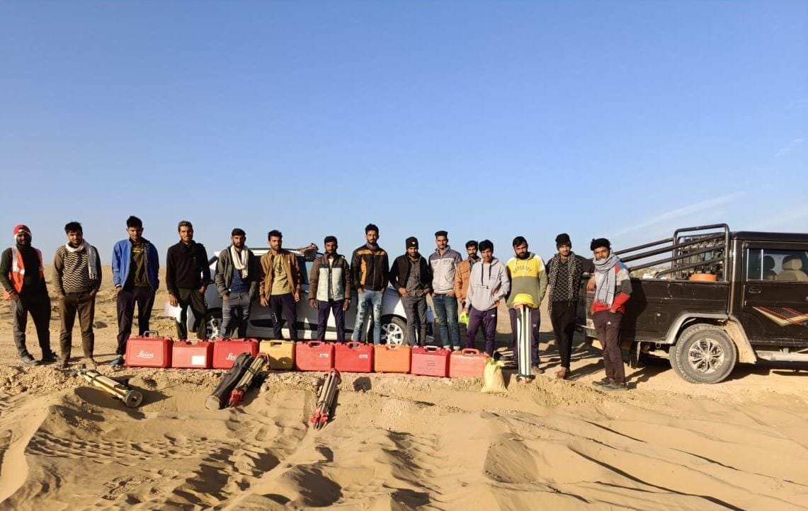
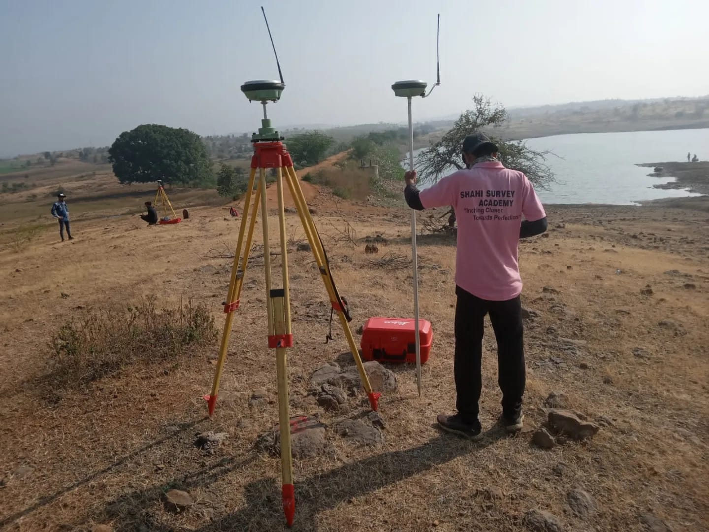
The dam has the catchment area of 10000 Hectares and its surveying was done with the usage of Leica D.G.P.S and Total Station. This project was completed in 3 months. The contour map was made and submitted to client. The river's cross-section and L-section was also submitted.
+View ProjectsThis 110 KM long road survey project comprised of the topography and the centerline marking with the help of D.G.P.S and Total Station. The O.G.L. was take with the help of Auto-Level and Digital Level.
+View Projects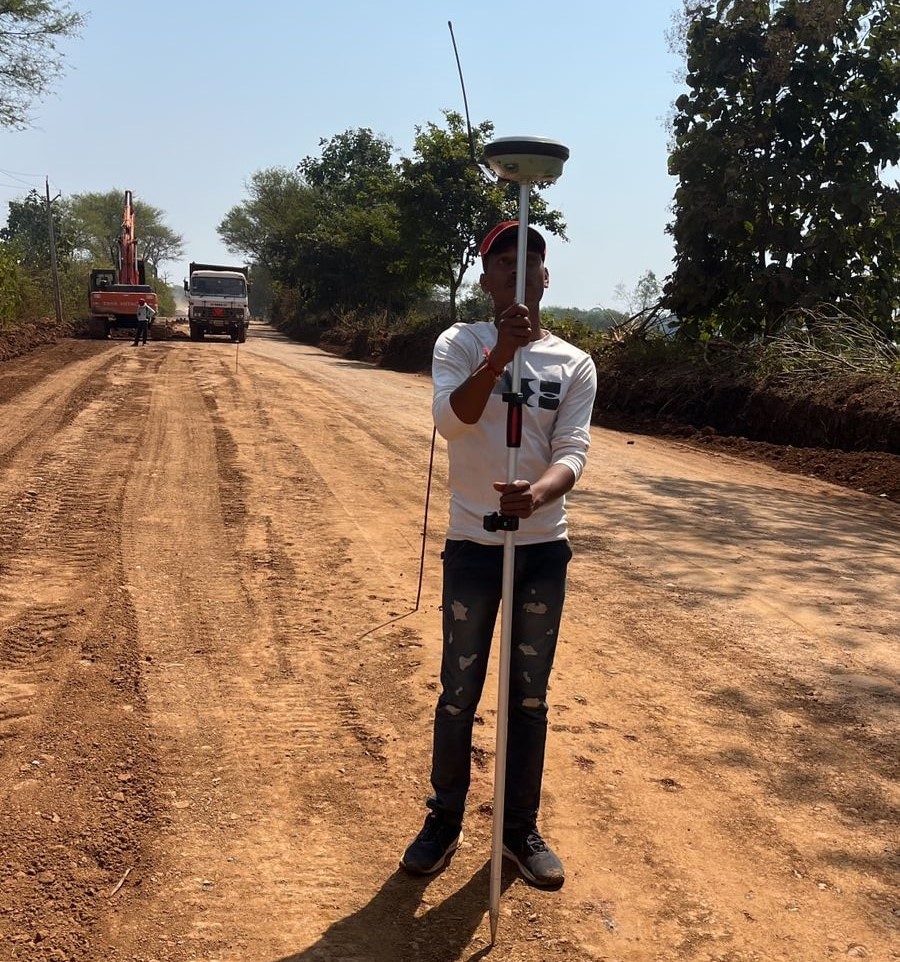
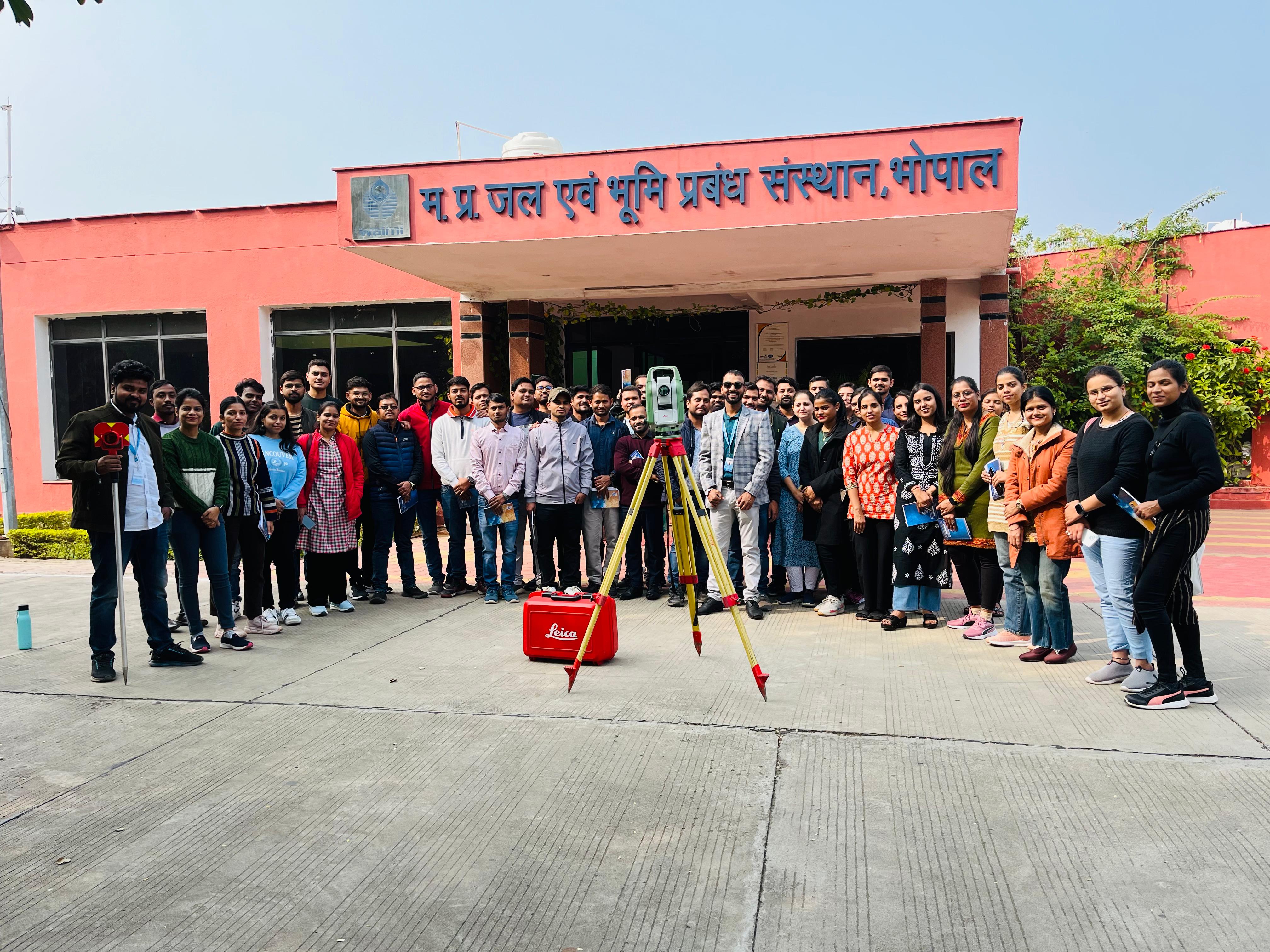
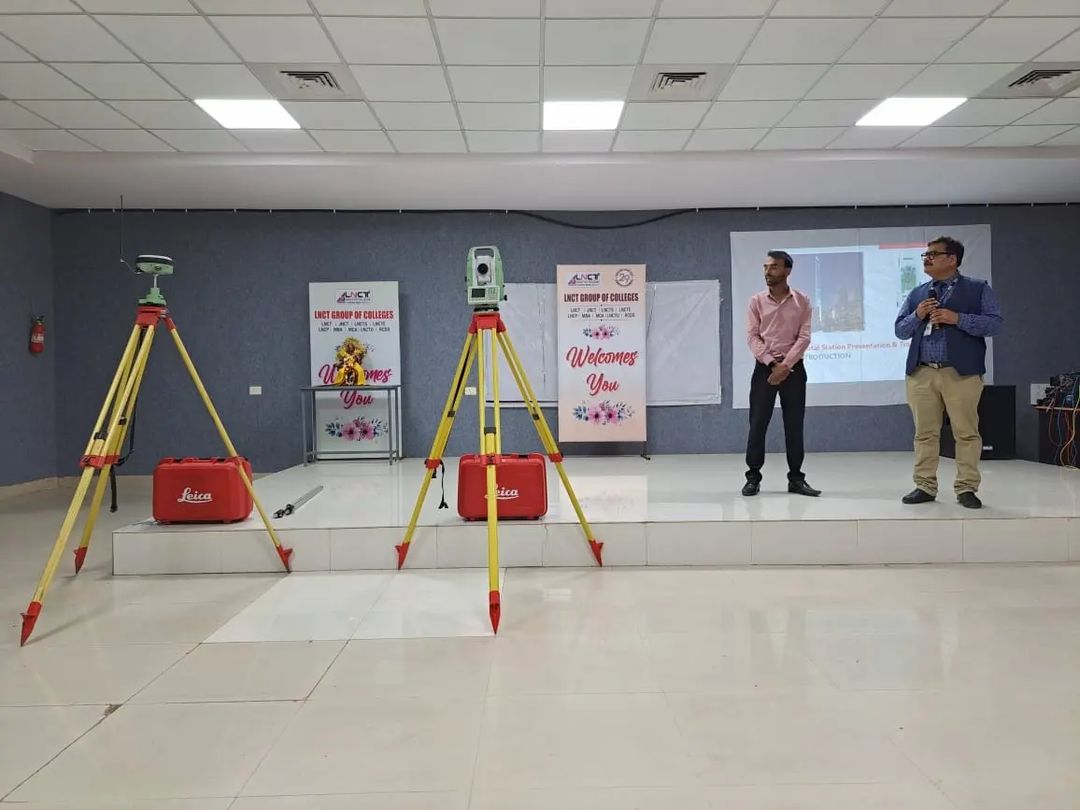
This total station training was given to the W.R.D. officers (S.D.O and J.E). This will enable the working professionals to implement the surveying knowledge and to make their work faster.
+View ProjectsBenefits of DGPS Utilization in Highway Surveys High Accuracy: This ability to achieve precision down to the centimeter is crucial for intricate engineering projects. Real-time data: Enables quick corrections and position updates, facilitating decision-making right now. Versatility: Suitable for large-scale roadway projects, effective in a variety of environments. In summary The efficient planning, building, and maintenance of road infrastructure depend on extremely accurate and dependable data, which is ensured by using DGPS for topographic surveys of state highways. Surveyors can provide accurate topographic data to support highway development projects by adhering to a methodical process from planning to reporting.
+View Projects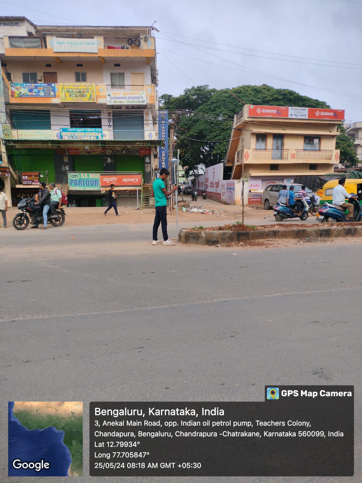
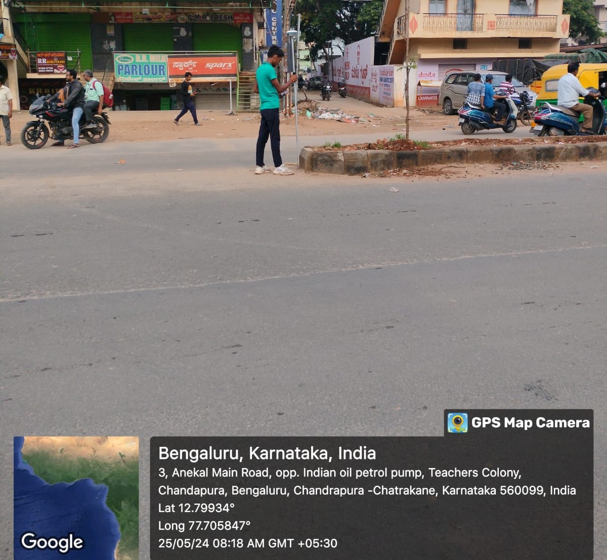
Benefits of DGPS Utilization in Highway Surveys High Accuracy: This ability to achieve precision down to the centimeter is crucial for intricate engineering projects. Real-time data: Enables quick corrections and position updates, facilitating decision-making right now. Versatility: Suitable for large-scale roadway projects, effective in a variety of environments. In summary The efficient planning, building, and maintenance of road infrastructure depend on extremely accurate and dependable data, which is ensured by using DGPS for topographic surveys of state highways. Surveyors can provide accurate topographic data to support highway development projects by adhering to a methodical process from planning to reporting.
+View Projects
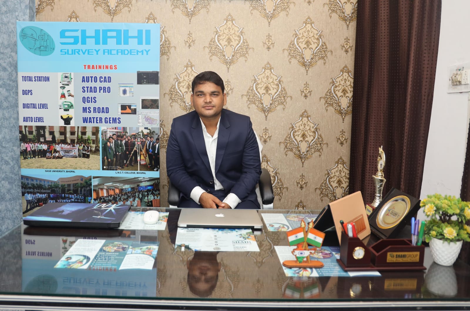


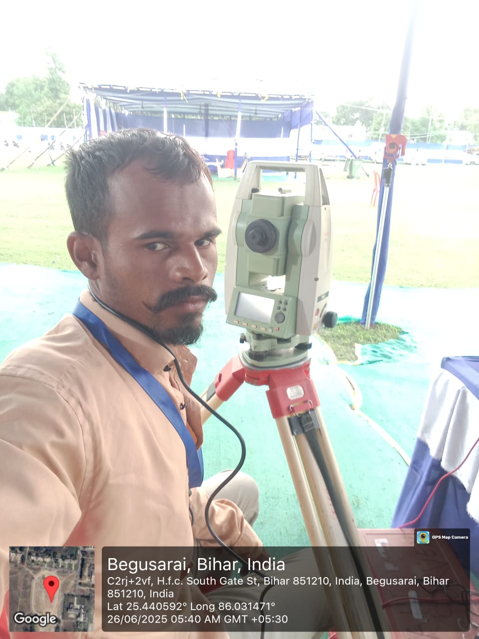

The Shahi Group was a delight to work with. Their team of experts meticulously and accurately carried out a comprehensive land survey for our property. They were very knowledgeable and meticulous from the beginning to the end, making sure that every part of our land was carefully evaluated."
Founder, Satyakabir

Receiving assistance from the Jal Jivan Mission initiative has had a profoundly positive impact on our community. It used to be a pipe dream to have access to clean water, but this campaign has made it a reality. Since we are no longer forced to travel great distances or rely on tainted water sources, our lives have been significantly improved.
CEO, Satyakabir

"Total Station Training was an eye-opening event for me. The course material was carefully designed to give students a thorough understanding of surveying principles as well as practical experience with state-of-the-art tools. Complex ideas were made understandable by the instructors' knowledge and tolerance, which created a positive learning atmosphere."
Project Manager

"I consider it to be a wise choice that I enrolled in the DGPS training program. The extensive course material, knowledgeable teachers, and practical training style gave me the information and abilities I needed to successfully negotiate the challenges presented by Differential Global Positioning System technology. In addition to expanding my comprehension of DGPS principles, I also had hands-on experience using these methods in authentic situations."
Project Manager