
The 300 MW Solar Ramming project that encompasses 200 acres of land in Bikaner Rajasthan. In this, we have completed the 1.5 lakh piling for the solar panels. This project took the time of 6 months and it was completed on time.
+View Projects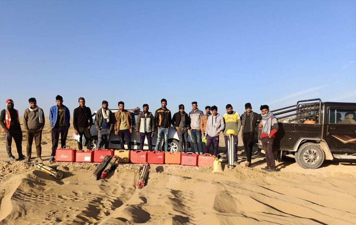
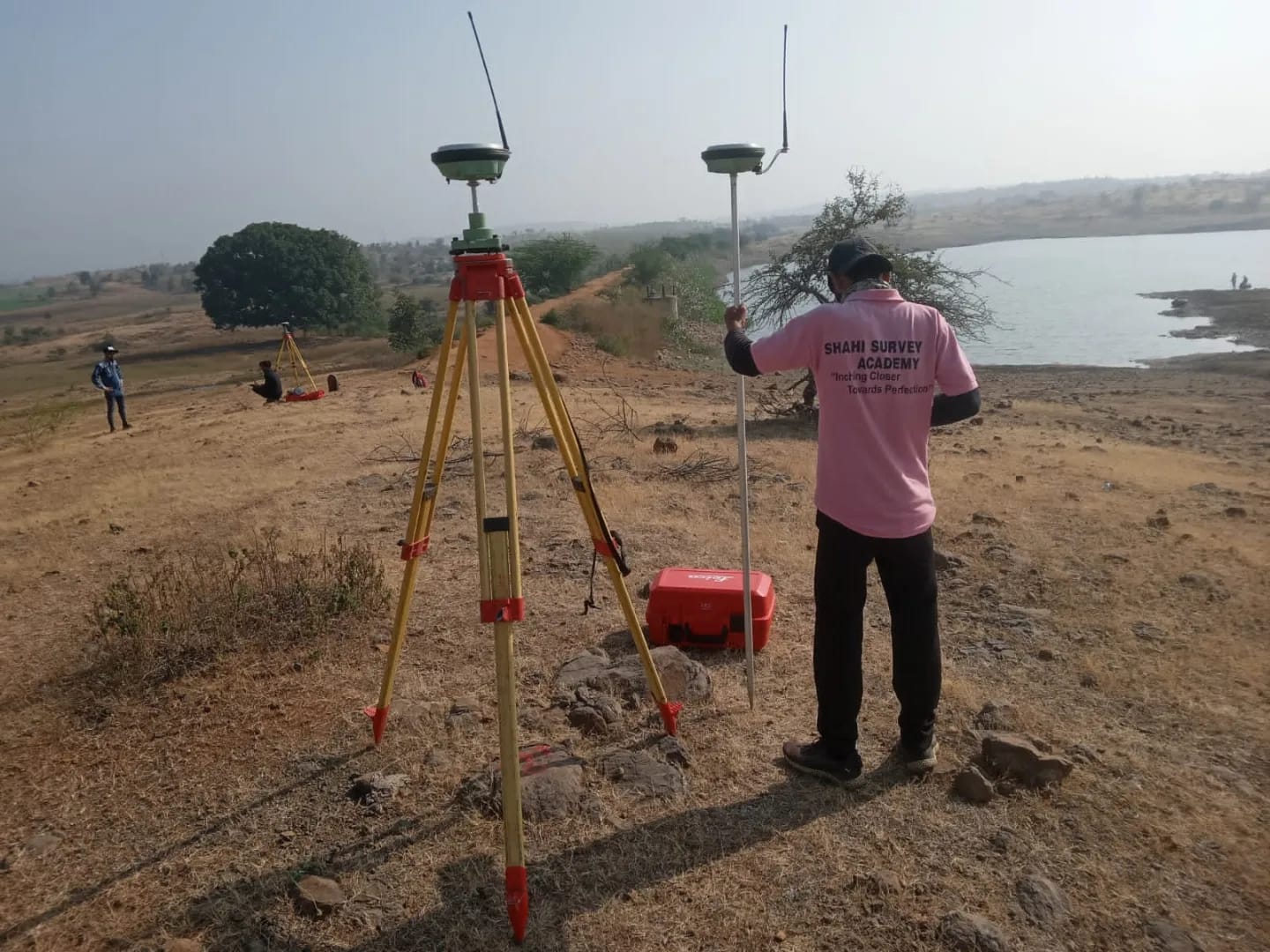
The dam has the catchment area of 10000 Hectares and its surveying was done with the usage of Leica D.G.P.S and Total Station. This project was completed in 3 months. The contour map was made and submitted to client. The river's cross-section and L-section was also submitted.
+View ProjectsThis 110 KM long road survey project comprised of the topography and the centerline marking with the help of D.G.P.S and Total Station. The O.G.L. was take with the help of Auto-Level and Digital Level.
+View Projects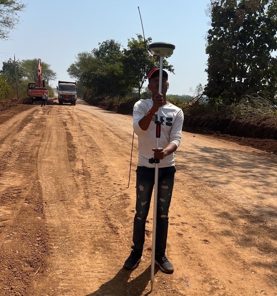
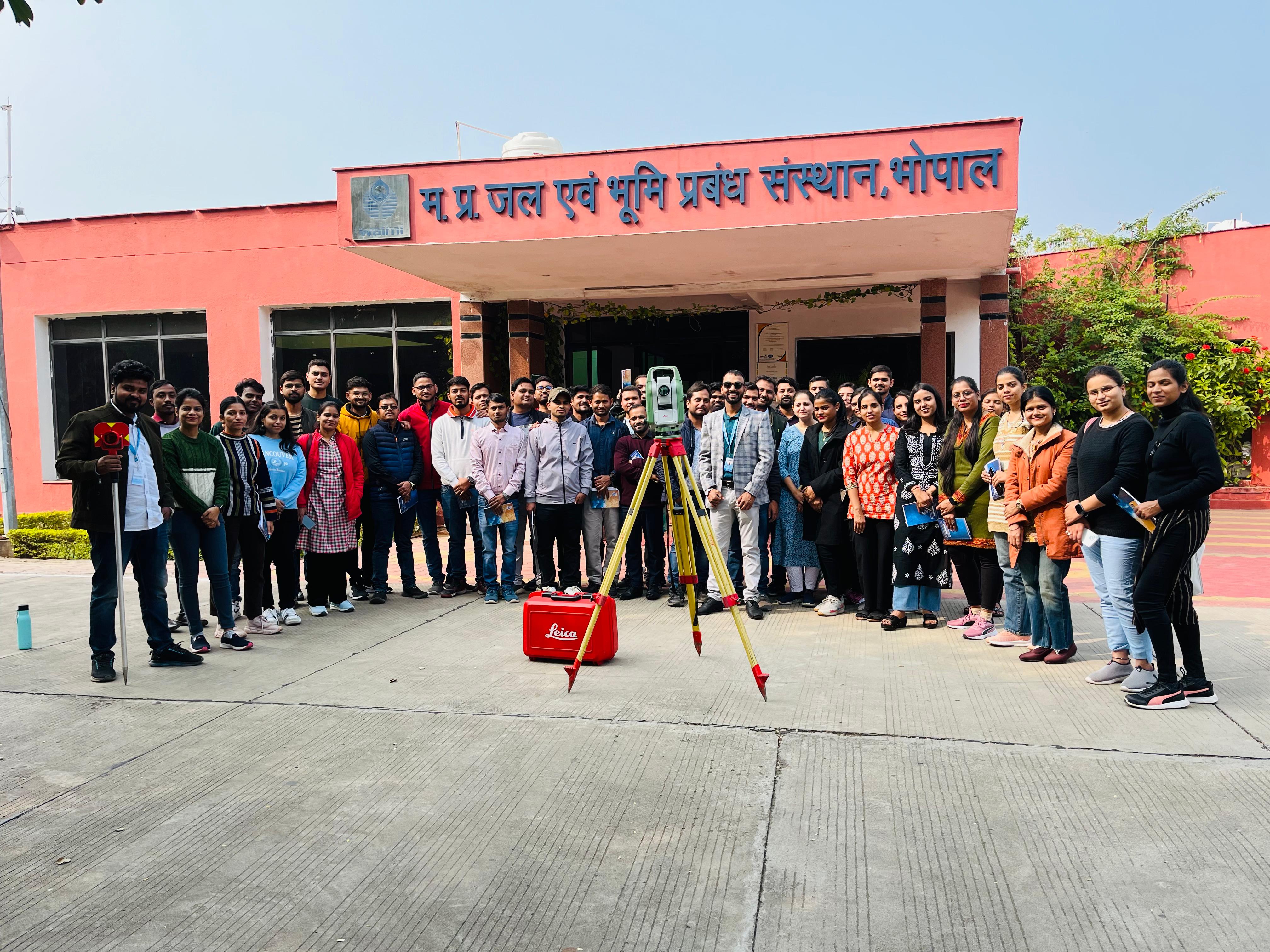
This total station training was given to the W.R.D. officers (S.D.O and J.E). This will enable the working professionals to implement the surveying knowledge and to make their work faster.
+View ProjectsBenefits of DGPS Utilization in Highway Surveys High Accuracy: This ability to achieve precision down to the centimeter is crucial for intricate engineering projects. Real-time data: Enables quick corrections and position updates, facilitating decision-making right now. Versatility: Suitable for large-scale roadway projects, effective in a variety of environments. In summary The efficient planning, building, and maintenance of road infrastructure depend on extremely accurate and dependable data, which is ensured by using DGPS for topographic surveys of state highways. Surveyors can provide accurate topographic data to support highway development projects by adhering to a methodical process from planning to reporting.
+View Projects