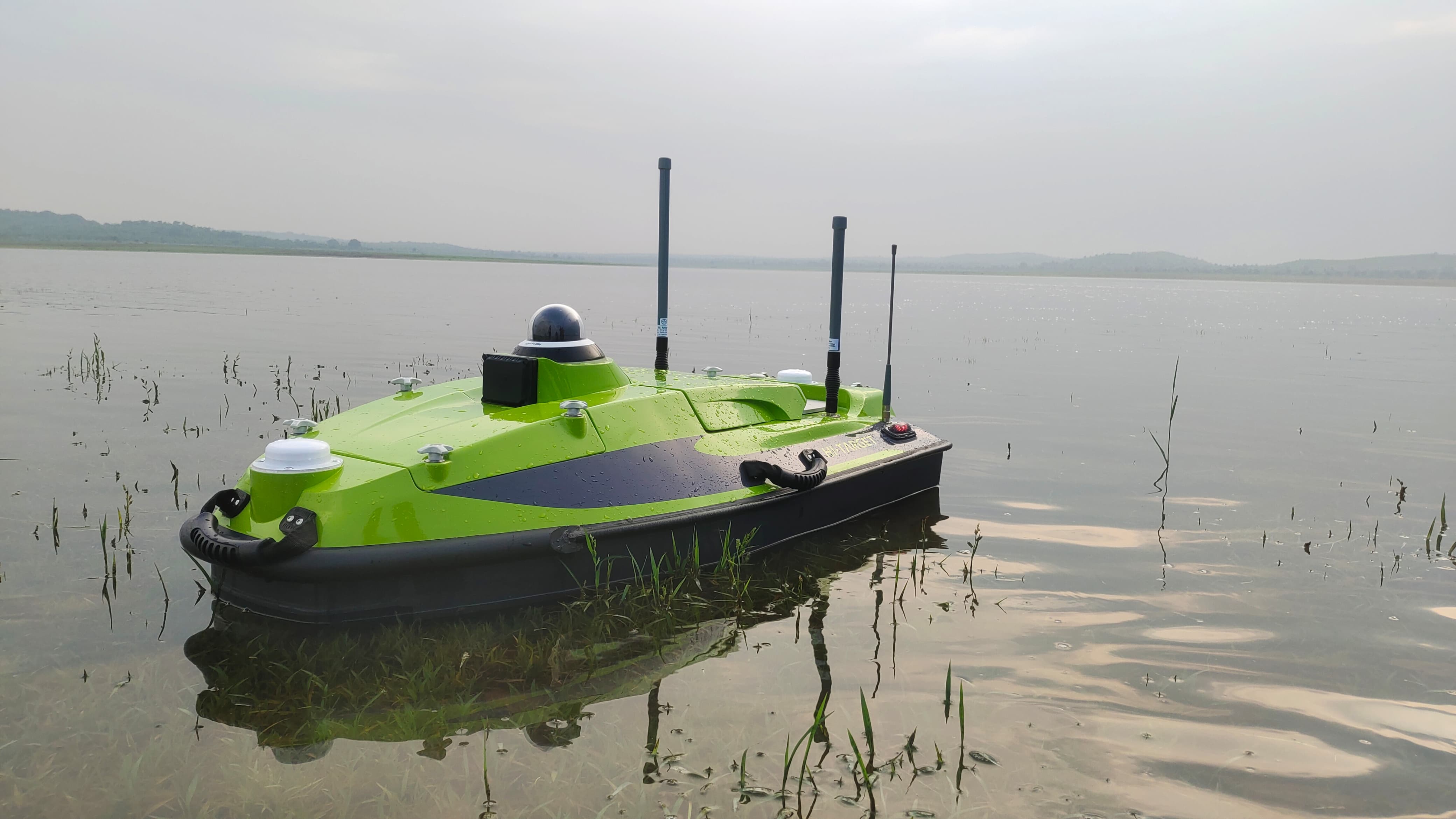


Overview Intake well design, construction, and maintenance all depend on the bathymetric survey. By providing vital information on the underwater topography, these studies guarantee the safe and effective operation of the intake structures. The importance of bathymetric surveys for intake wells, the techniques employed, and the advantages they provide for water intake systems are all covered in this blog.
A bathymetric survey: what is it?
Mapping the underwater topography of a body of water, such as a lake, river, or reservoir, is called a bathymetric survey. Surveyors analyze the undersea landscape's depth and contour with specialized equipment to produce intricate maps and profiles. Applications such as building, environmental monitoring, and navigation all depend on this data.
Bathymetric Surveys Are Important for Intake Wells
The purpose of intake wells is to extract water from natural sources for a variety of applications, including industrial activities, irrigation, and drinking water supply. Reliability and durability of these wells rely on precise understanding of the submerged environment. For intake wells, bathymetric surveys are essential for the following reasons:
Site Selection: Accurate information about the undersea topography is necessary to determine the optimal location for an intake well. By choosing a location with the ideal depth and few obstacles, a bathymetric study ensures effective water flow and lowers construction costs.
Design Optimization: Engineers can create intake structures that are optimally matched to the underwater environment by using precise bathymetric data. By doing this, the chance of structural failures is reduced and the efficiency of the intake system is guaranteed.
Sediment Management: The effectiveness of intake wells can be greatly impacted by sedimentation. In order to ensure the longevity and effectiveness of the intakesystem, bathymetric surveys aid in the study of sediment trends and the development of mitigation techniques to reduce sediment building.
Environmental Impact Assessment: Determining the effects of building an intake well on the environment requires an understanding of the underwater environment.Data from bathymetric surveys are useful in reducing ecological disturbance and protecting aquatic environments.
Maintenance and Monitoring: The undersea environment surrounding the intake well can be continuously observed through the use of bathymetric surveys on a regular basis. This aids in identifying modifications, such as sediment buildup or changes in the undersea landscape, that may have an impact on the intake system's functionality.
Techniques Applied to Bathymetric Surveys
Bathymetric surveys use a number of methods to get precise and thorough data:
Single-Beam Echo Sounding: This technique measures depth at specific locations by means of a single sound beam. It provides a basic depth profile of the underwater topography and is appropriate for limited areas.
Multi-Beam Echo Sounding: These systems cover a large area of the underwater environment by emitting many beams of sound waves. This method works well for larger areas and produces detailed maps with high resolution.
Side-Scan Sonar: By projecting sound waves to the sides, side-scan sonar systems are able to get images of underwater structures. This method works well for locating items and structures on the ocean floor.
Light Detection and Ranging, or LIDAR, measures the underwater terrain by means of laser pulses. It can produce extremely precise maps and works especially well in shallow water.
Remotely operated vehicles, or ROVs, can be used to do in-depth underwater area inspections. Their sonar and video systems can be utilized to supplement the data collected through other means.
Bathymetric Surveys' Advantages for Intake Wells
There are many advantages to performing a bathymetric survey for intake wells, such as:
Enhanced Design and Efficiency: Precise information guarantees that intake wells are planned to optimize performance and reduce upkeep expenses.
Risk Mitigation: Identification and mitigation of possible risks, such as sediment buildup or structural vulnerabilities, are facilitated by an understanding of the underwater environment.
Cost Savings: Bathymetric assessments can drastically lower building and maintenance costs by optimizing site selection and design.
Environmental Protection: Thorough surveys help evaluate and reduce the effects of intake well construction and operation on the environment.
In summary
Planning, building, and maintaining intake wells successfully all depend on bathymetric studies. These investigations make it possible to build intake systems that are safe, effective, and environmentally conscious by giving comprehensive information about the underwater landscape. Bathymetric survey techniques will become progressively more accurate and widely available as technology develops, increasing their usefulness in the management of water resources.