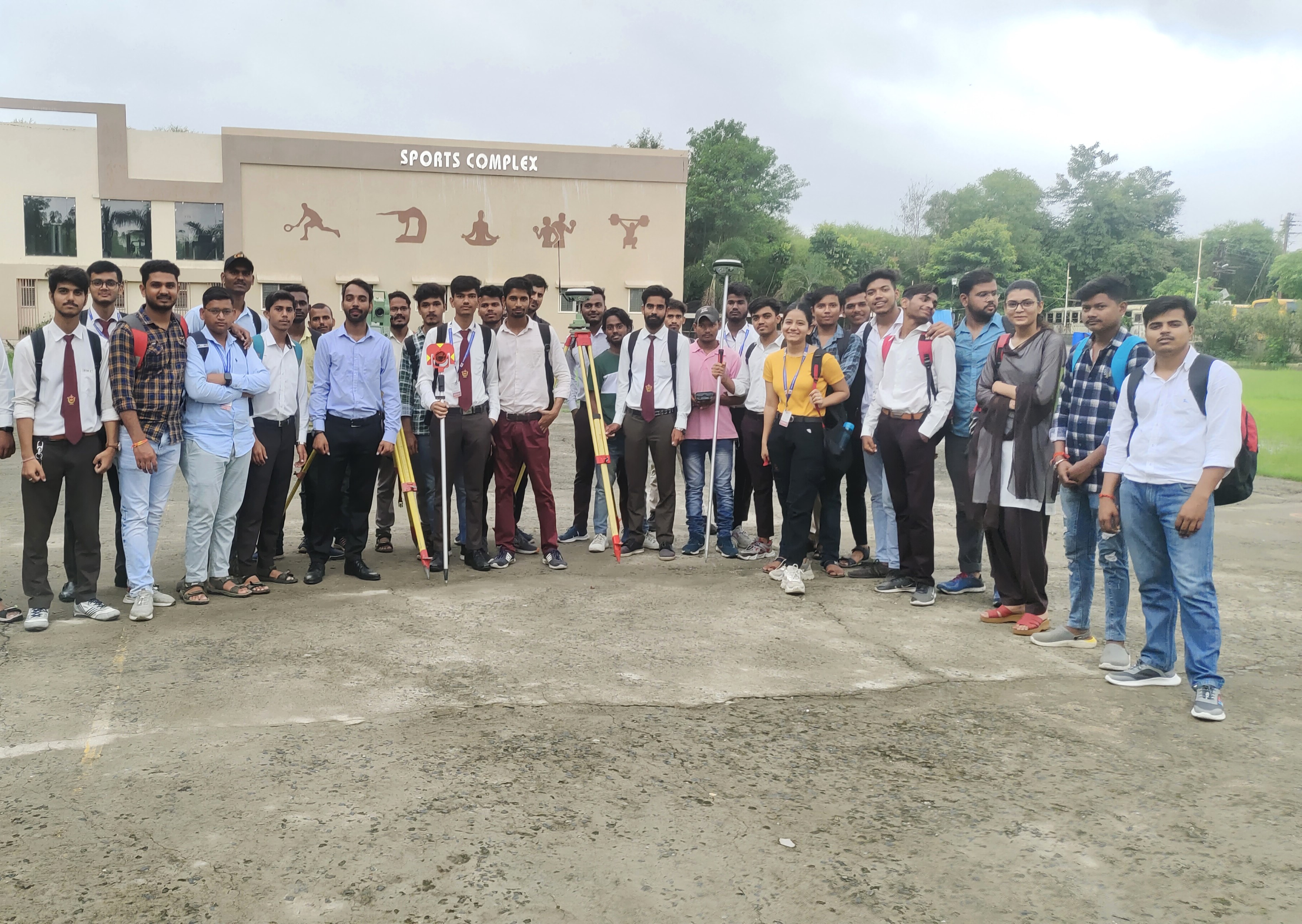


Differential Global location System (DGPS) technology is a cornerstone of precise and accurate location in the field of modern surveying and geospatial data collection. Leica, a well-known brand in surveying equipment, provides cutting-edge DGPS solutions that enable experts to reach previously unheard-of levels of precision and effectiveness. This essay seeks to give a thorough introduction to Leica DGPS training, exploring its importance, elements, practical methods, applications, and revolutionary effect on surveying procedures.
The Importance of Leica DGPS Training:
In order to fully utilize DGPS technology, surveyors and other geospatial professionals must complete Leica DGPS training. Participants obtain the information, abilities, and practical experience required to operate Leica DGPS equipment through extensive training sessions. In addition to guaranteeing technology competency, training also develops a grasp of the technology's fundamental ideas, allowing users to maximize efficiency and minimize mistakes.
Parts of a Leica DGPS system: To provide accurate positioning data, a Leica DGPS system consists of a number of crucial parts that cooperate with one another:
GNSS Receivers: Accurate, high-precision receivers that can follow signals from several satellite constellations, such as BeiDou, GPS, GLONASS, and Galileo.
Specialized antennas made to pick up satellite signals and enable precise positioning are known as antennas.
Data Link: The communication device used to send corrected data from the rover stations to the base.
Software for processing, interpreting, and displaying GNSS data acquired by Leica DGPS receivers is known as data processing software.
Operational procedures: A variety of operational procedures necessary for effective data collecting and positioning are covered in Leica DGPS training.
Setup and Configuration: For DGPS equipment to operate at its best, proper setup and configuration are essential. Participants in training learn how to set up communication lines, initialize receivers, and install antennas.
Baseline Establishment: In order to ensure precise positioning through differential corrections, surveyors acquire procedures for establishing baseline measurements between base and rover stations.
Real-Time Kinematic (RTK) Operation: Acquiring centimeter-level positioning accuracy in real-time is essential for applications like precision agriculture, construction, and land surveying.
Post-processing: Post-processing techniques are taught throughout training in order to improve accuracy and dependability by refining positional data and fixing faults.