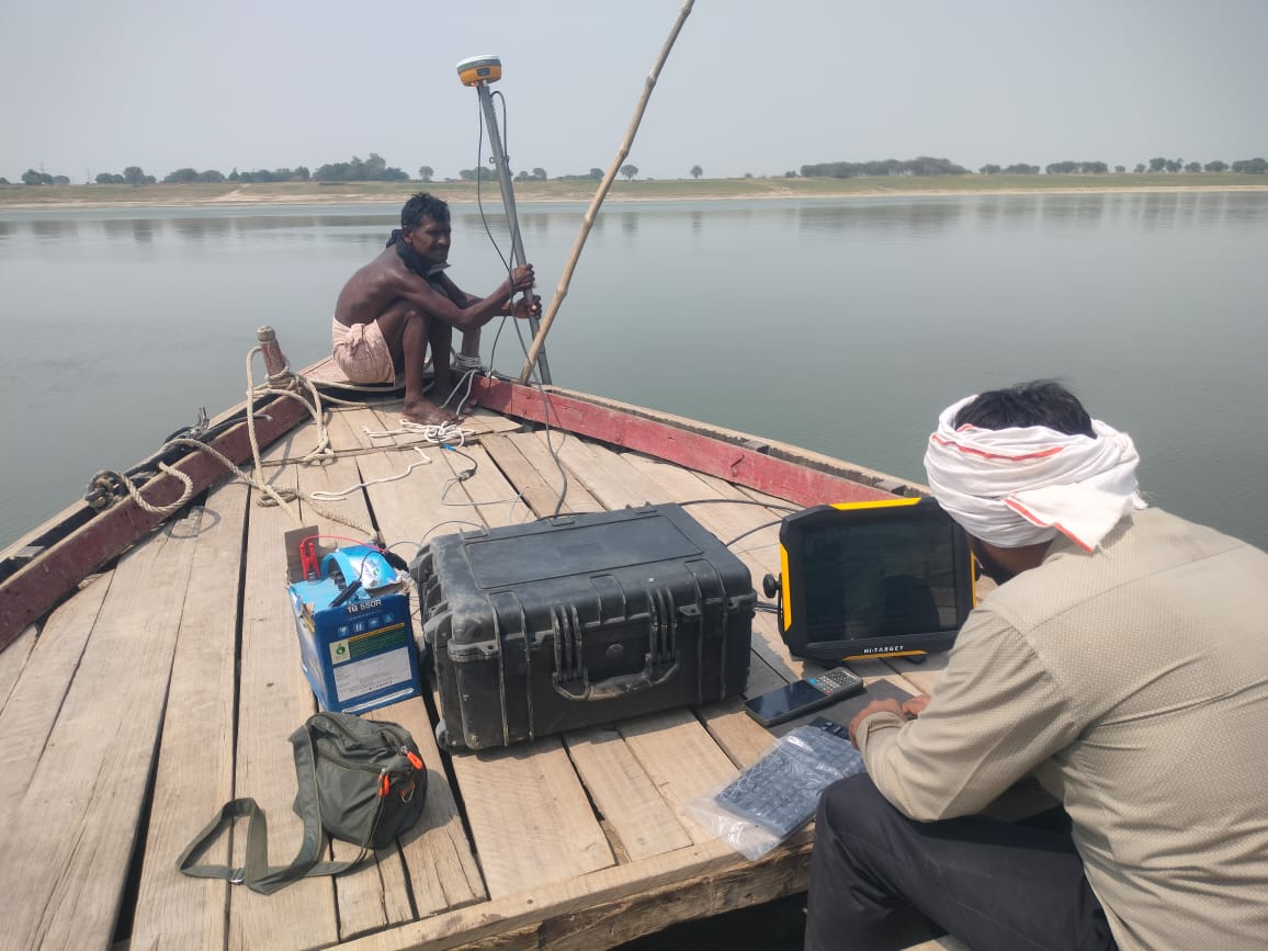


Mapping a body of water's underwater topography is done through bathymetric surveys. In order to produce intricate maps that portray the underwater environment, it entails measuring the depth and features of the lakebed or seafloor. Numerous applications, such as resource management, building, navigation, and environmental monitoring, depend on these surveys. An outline of the bathymetric survey procedure is provided below:
+Get Quote