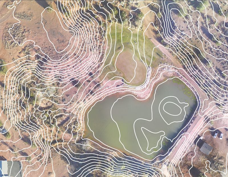


One kind of topographic survey that focuses exclusively on mapping the contours or elevation lines of the land surface is called a contour survey, sometimes referred to as a contour map or contour plan. To get comprehensive information about a piece of land's shape, slope, and elevation changes, contour surveys are carried out.
+Get QuoteContour Survey