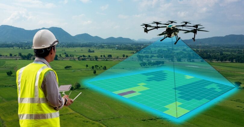


Drone survey training gives people the abilities and information required to operate drones for mapping and surveying tasks. Usually, the instruction covers a range of topics, such as: Drone Operation: Acquiring the skills necessary to operate drones, including navigational knowledge and flying controls. laws and Safety: To maintain compliance and safe operations, it is important to understand legal requirements, airspace laws, and safety measures.
+Get QuoteSurveying Techniques: Acquiring expertise in the use of drones for photogrammetry, LiDAR, and thermal imaging data collection.
Data processing: Instruction in the use of software tools to process and examine gathered data in order to produce precise models, reports, and maps.
Applications: Investigating the various uses of drone surveys in mining,construction, agricultural, and environmental monitoring industries.
For professionals wishing to use drone technology for precise and effective surveying jobs, drone survey training is crucial.