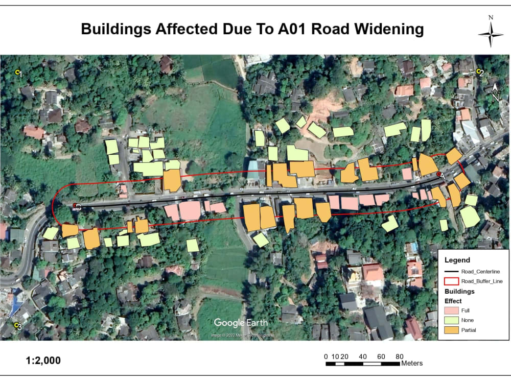


Utilizing specialized software and methods, GIS (Geographic Information System) work entails gathering, organizing, processing, and visualizing geographic data. With the use of GIS technology, users may combine many forms of spatial data, including maps, satellite images, aerial photos, and survey data, to solve challenging geographical problems in a variety of disciplines and businesses.
+Get QuoteGIS Work