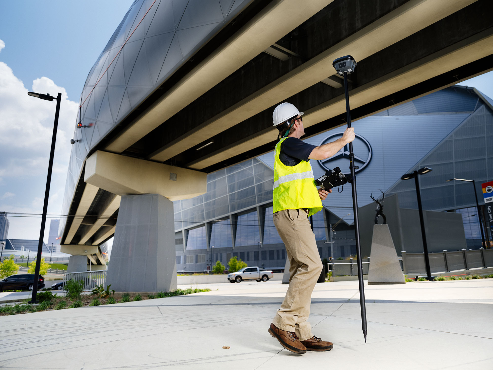


Leica GS18 I GNSS RTK rover utilises highly innovative Visual Positioning technology based on integration of GNSS, IMU and a camera. With Visual Positioning, users can capture areas of interest from a distance and measure points from images. It enables you to measure points from images with survey-grade accuracy either in the field or in the office. The office workflow for GS18 I is based on Infinity. Users can measure single points or create a point cloud from the data. Here is a quick workflow.
+Get QuoteTo import the GS18 I data, simply select the Import from the ribbon. In the Import dialog, highlight the DBX file and select Import. Zoom, rotate and pan in the graphical view to get an overview of the imported data and images. The imported Image Groups and associated images are listed in the Library object’s list in the Navigator.
To measure points, highlight the Image Group in the Navigator and from the context menu select Open Viewer. In the Image Viewer, navigate to the desired image and measure new points. Zoom and pan to the required positions or use the magnifier for a closer look. A single click chooses the point and the same feature is automatically identified from the other images. Created points are listed in the Points View pane and can be viewed in the images.