

Email:info@shahisurvey.in
Phone:+91 7000510947
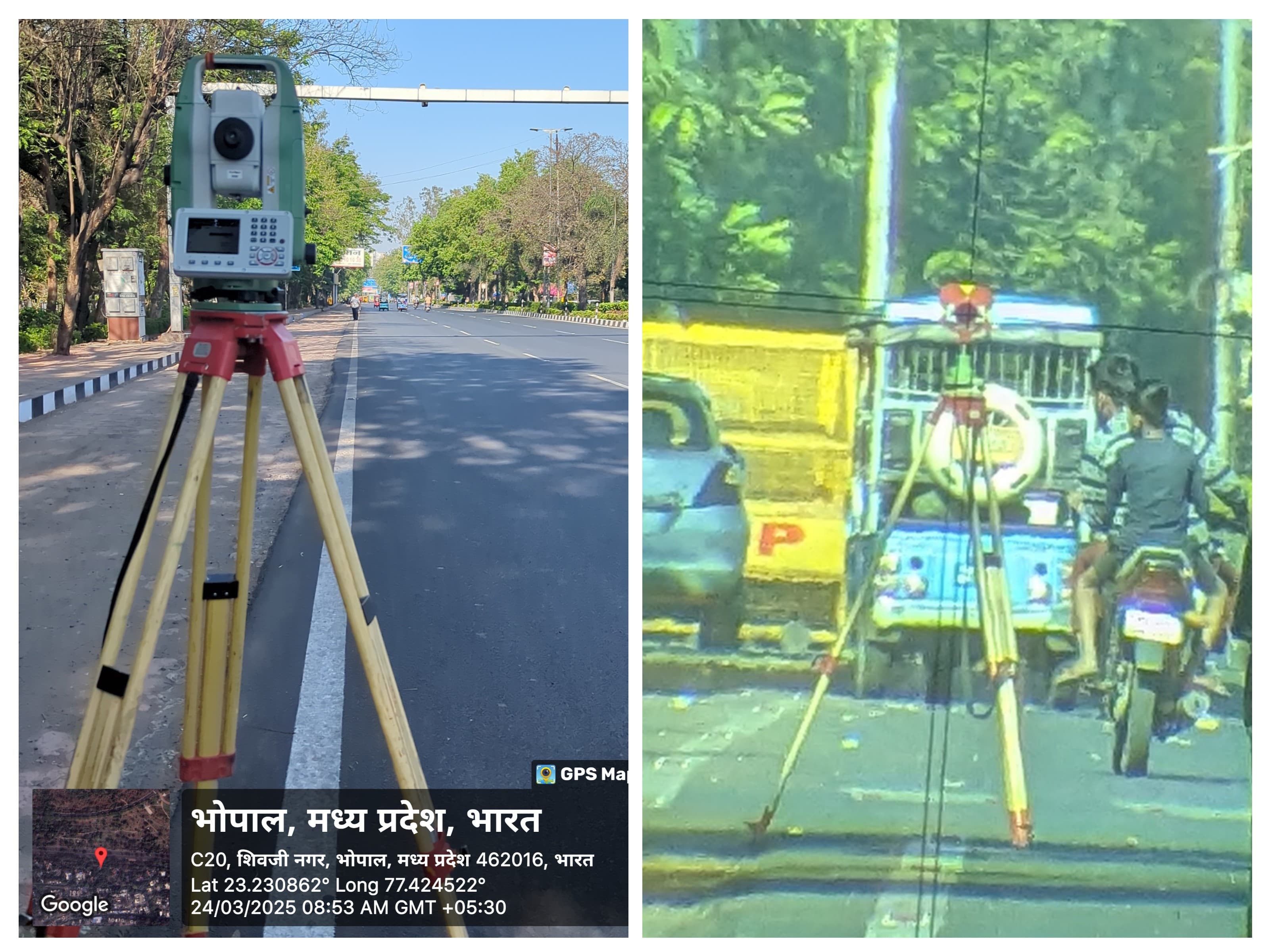
In surveying, traversing is a basic method for setting up control points for land measuring and mapping. In order to accurately depict a region, it entails measuring the angles and distances between a number of connected locations called traverse stations. Numerous surveying tasks, such as determining land boundaries, mapping topography, and planning building, require the use of this technique. We will examine the idea of navigating in this comprehensive essay, along with its various forms, approaches, uses, and procedures.
+Get QuoteTraversing: What Is It?
By measuring the distance between two points (with a tape, chain, or total station) and the angles created between the lines connecting them (using a theodolite, total station, or GPS), surveyors can determine the relative positions of points on the ground. This process is known as traversing. Depending on the type of traverse, the final product is a set of straight lines joining traverse locations to create either an open-ended path or a closed loop.